The first was Horsetail Falls where we climbed a trail way above the waterfall to a second, smaller waterfall called Ponytail, allowing us to walk behind the Falls.
Then onto the highest Falls, Multnomah. It is 650 feet and I couldn't get the whole cascade in a photograph without changing the camera lens.
In this westerly portion of the Gorge, we traveled the original Oregon scenic Highway 30 built in 1916, a narrow twisting road high above the Columbia River through a rain forest. The average annual rainfall here is 75" and it declines 1" per mile as you travel East.
 |
| Tunnel on the original road, no longer used |
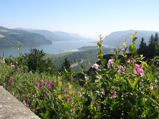
Our last stop along the Gorge was at the Vista House and overlook, a beautiful spot.
 |
| Vista House |
 |
| Mt. Hood, OR |
 |
| Mt. St. Helens |
 |
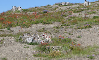
| Devastation still after 30 years |
 |
| Jack called the dead tree stumps graves of Mt. St. Helens |
 |
| Crater of Mt. St. Helens is slowly building a dome in the center |
 |
| One of many lakes formed when eruption debris dammed creeks |
 |
| This photo is NOT blurry. This is the way these hillsides look in person because of mismatched horizontal tree branches |
Stopped for dinner on the return trip back to our campsite at the only open restaurant (the other restaurant on the road only served lunch) and it was a lucky find - excellent food on the open air deck overlooking a creek at sunset.


No comments:
Post a Comment